
RD8200SG Survey Grade Locator
Radiodetection RD8200SG
Locate and map buried utilities in a single operasion
- PT. Visi Indotama Perkasa | Radiodetection Indonesia -
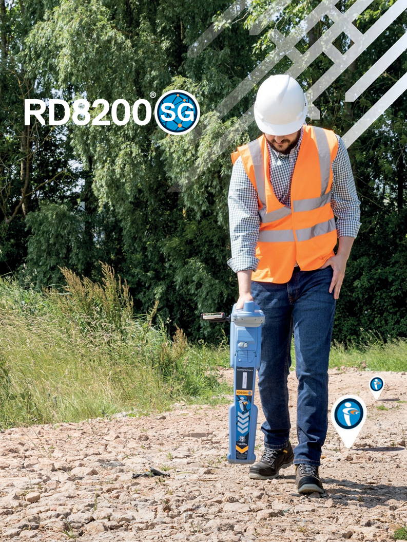
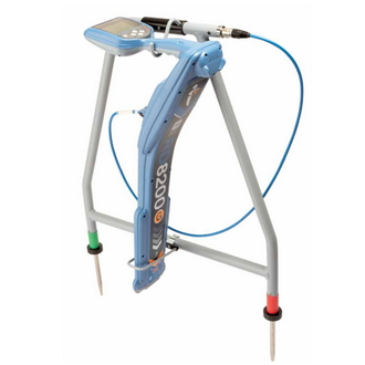
Locate and map buried utilities in a single operation with the RD8200SG - Survey Grade, available for Android™ and iOS®. The RD8200SG is our most advanced, combined mapping and utility locating solution that enables users to map buried utilities with survey grade accuracy.
Map It Your Way
Flexibility is at the heart of Radiodetection's RD8200 series precision utility locators, allowing customers to choose the solution that is most suitable for their business.
Mapping buried utilities
Mapping buried utilities has been a longstanding practice in the industry. Access to reliable maps plays a crucial role in safety & risk mitigation, preventative maintenance and emergency repairs.
There are numerous challenges associated with mapping buried utilities:
- Carrying out the job often requires specialized, costly equipment.
- Mapping utilities needs to be done by a highly skilled team carrying out extensive fieldwork.
- Systems are not set up to seamlessly transfer locate data onto a map and create comprehensive, detailed reports.
As a result, buried utilities frequently lack documentation,leaving their exact location uncertain.
In an increasingly digital world, demand for high quality,reliable, digital maps of buried utilities is quickly becoming the norm.
Key Features
Available on iOS® and Android™
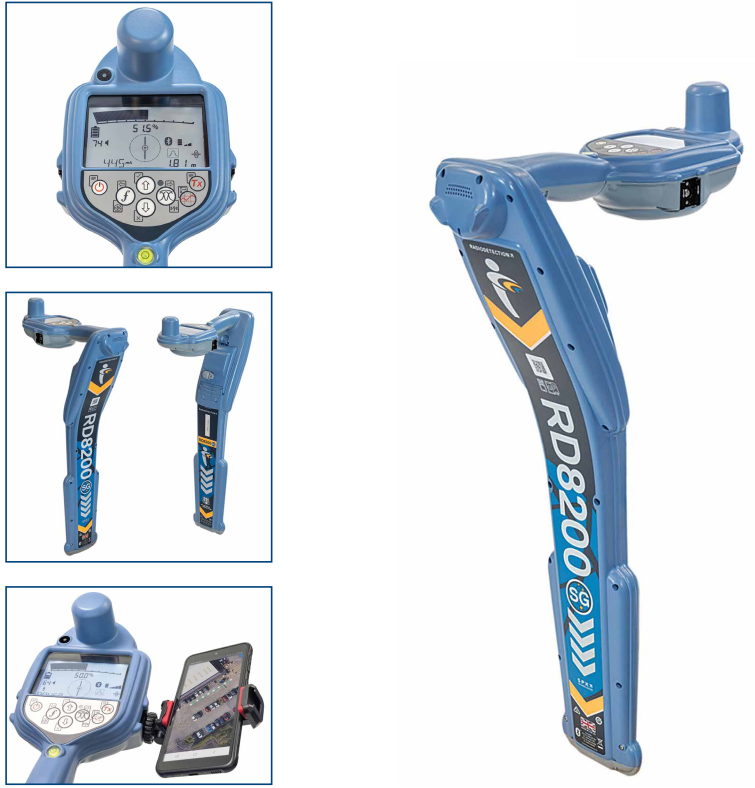
Built-in high accuracy GNSS
Lithium-ion battery and charger included as standard
22 frequencies, plus
5 custom frequencies.
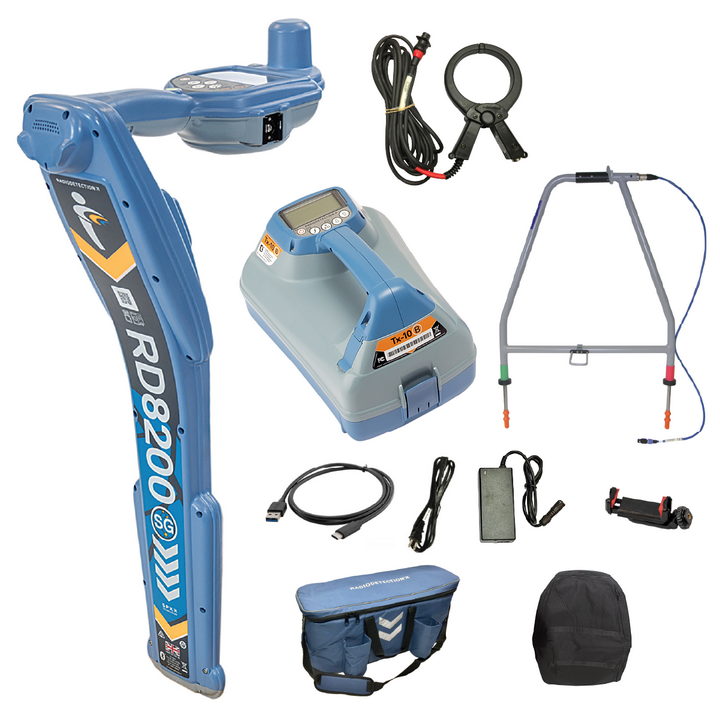
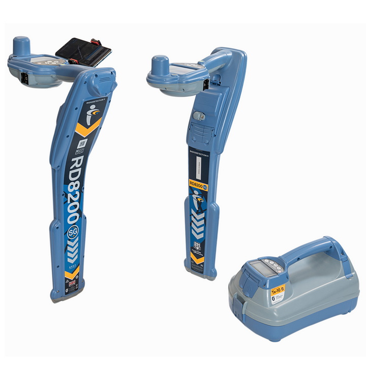
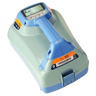
Compatible with Tx5, Tx10 and Tx10B Transmitters
Remotely change the frequency on Tx10B with iLOC®



Map It Your Way
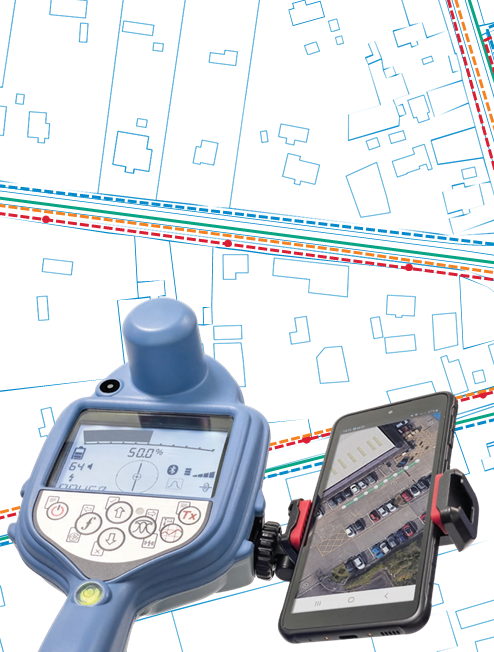
Flexibility is at the heart of our mapping solutions,allowing customers to choose the solution that is most suitable for their business. We offer turnkey solutions for those new to the world of utility mapping, while utility mapping experts can connect into their advanced systems.
Integrated Survey Grade GNSS Receiver
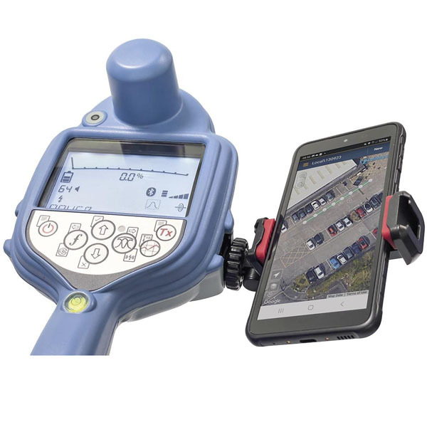
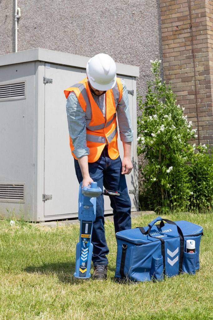
Locate and map buried utilities in a single operation. Designed for precision locating every time in the field, the RD8200SG features an in-built GNSS antenna that enables the operator to perform buried utility locating with accurate mapping in a single operation. With Survey grade accuracy, view and build your map on your mobile phone. A flexible solution, The RD8200SG can work with any correction service provider and mapping solution and works where cellular data and correction services are available.
Ergonomic design, premium quality
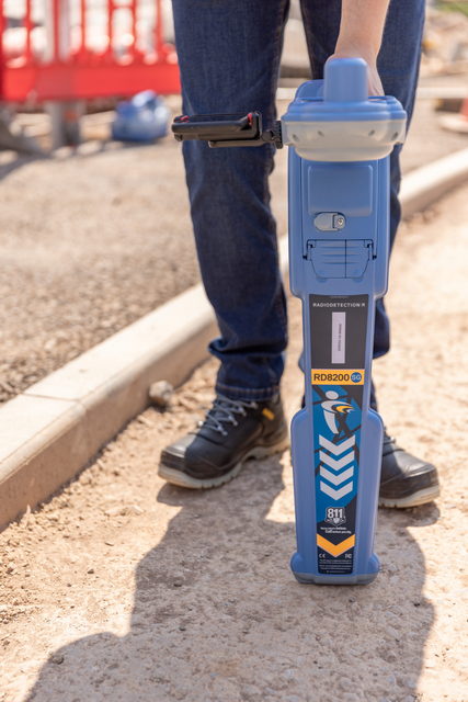
RD8200SG is Lightweight and ergonomic. Rugged design to cope with real world conditions such as rain, dirt and extreme temperatures. Designed and built in the United Kingdom.
Why Radiodetection
Radiodetection provides world class solutionsto help the industry protect critical infrastructure and buried utilities
Recognized as industry pioneers, Radiodetection has been offering its customers competitive advantages and operational efficiency through technology-leading solutions since 1977.
Ease of operation and ergonomics – the equipment of choice for many industry professionals.
Quality, accuracy and reliability are the foundations of Radiodetection’s unrivalled reputation in enabling operators to locate congested buried utilities quickly.
Comprehensive distribution network, training and support – offering local knowledge and support to maximise business continuity and efficiency.